All maps are wrong. He cut open a globe to show us why.
Along with the commonly known Mercator map, (the one used by Google Maps), there are a huge number of global map types that have been made throughout the years. These maps each have their own structure and purpose, some with the intention of maintaining spacial integrity and others, with the intention of aiding navigation.
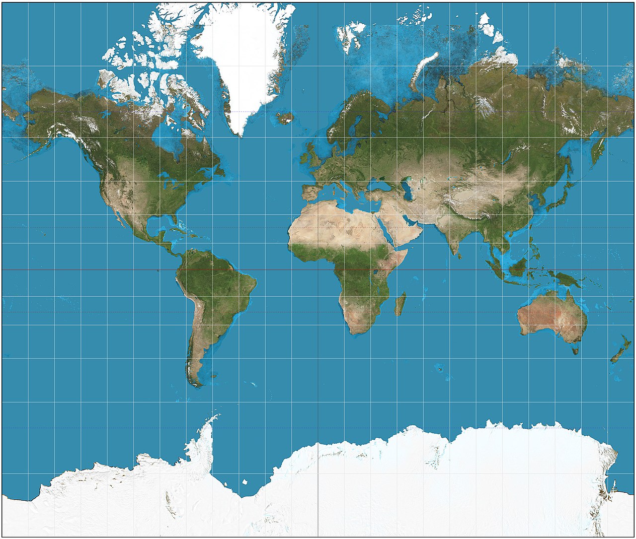
For instance, the Mercator map, which we all know and love, is not an accurate depiction of size. Greenland is roughly the same size as Africa on the map, when in reality it is roughly 1/14 of the size.
Others, like the Gall-Peters map, protect the sizal integrity but suffer from an intense distortion of shape.

The lesson taught is that there is no perfect way to project a round map on a flat surface (and vice versa). Every map projection distorts in a different way.